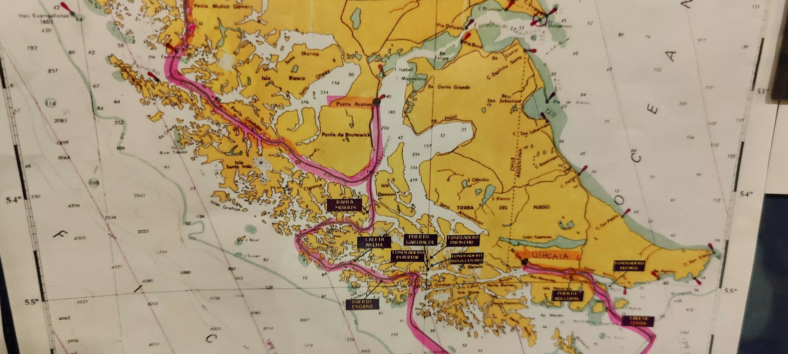
The red line on the map above firstly shows, at the top, our journey into the Magellan Straits as we left the western fjords early on Sunday morning.
We would then continued along the Magellan Straits to Punta Arenas (the first black dot) and arrive there by Sunday evening. After that, rather than continuing along the Magellan course into the Atlantic, we will travel back southwards, then out through the islands and eventually sail around Cape Horn on Tuesday.
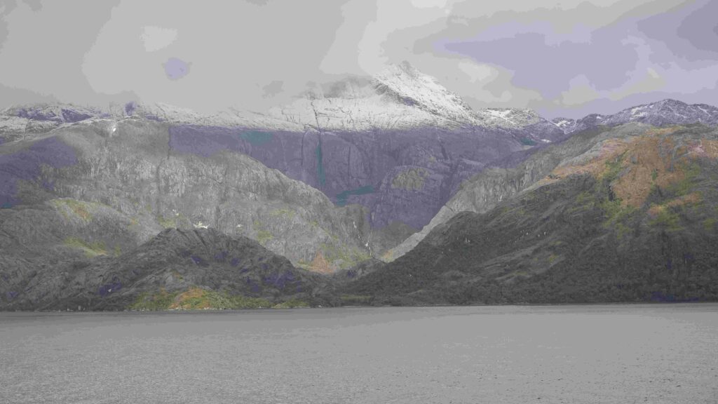
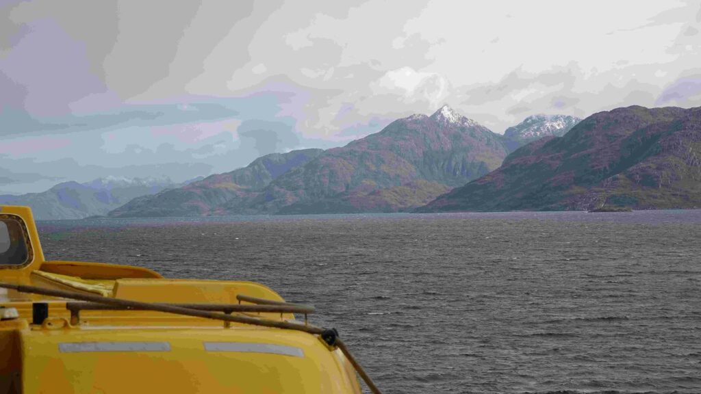
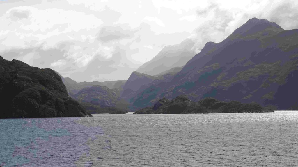
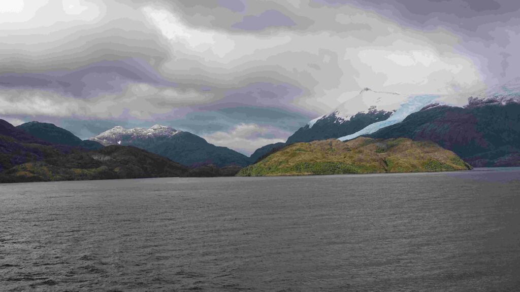
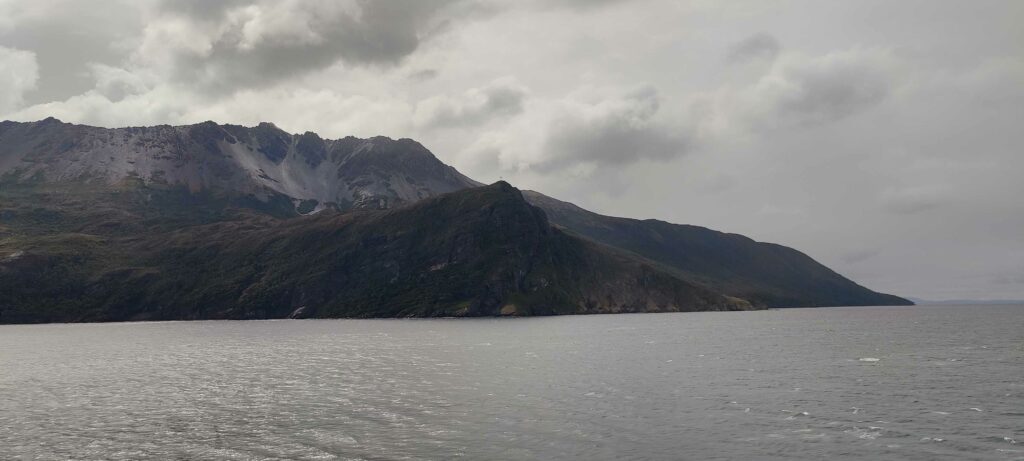
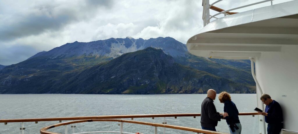
The dramatic scenery in this beautiful area continued to tingle our senses as we drifted past snow capped peaks, islands and gorges, some in the distance and some very close.
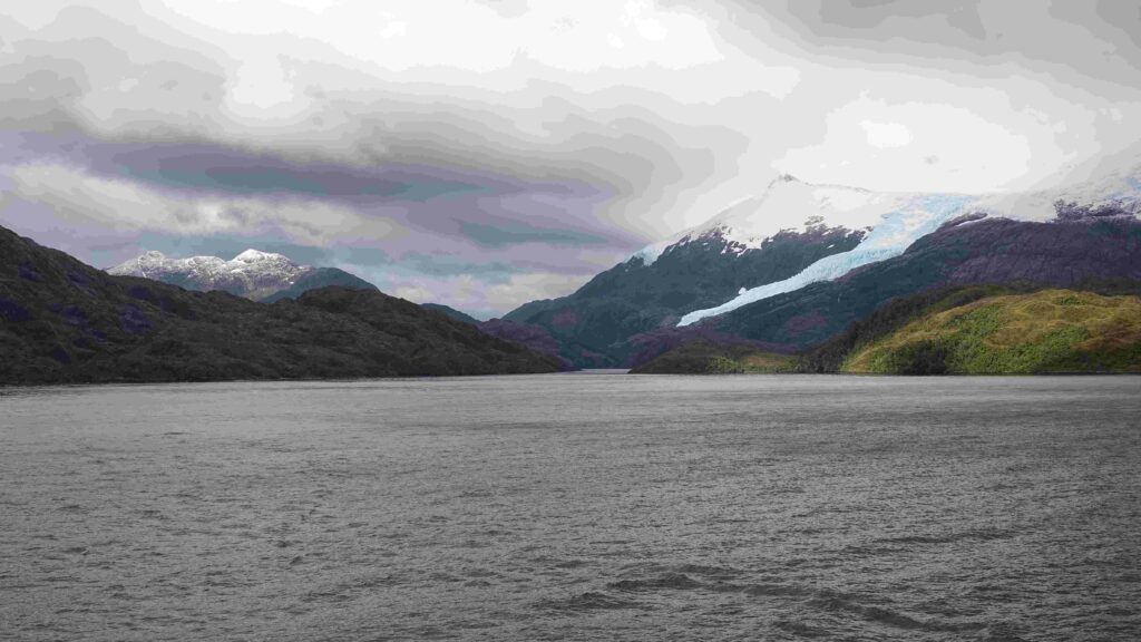
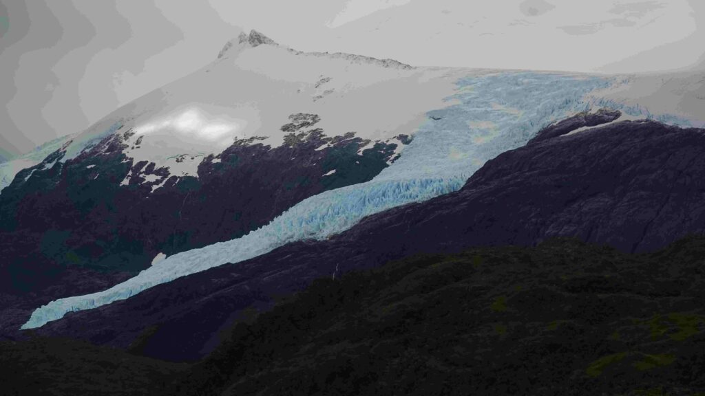
Early Sunday morning the background rumble of the engines suddenly stopped. Then came an announcement from the captain. They had spotted another glacier in a side channel as we passed and decided to turn the ship around and go back and have a closer look.
The strait was quite narrow at this point so a tight maneuver followed and soon everyone was out on deck, including some who had obviously dressed in a hurry:
Thar She Blows!
After returning to the main channel I had a good chance to photograph a humpback whale as we passed by:
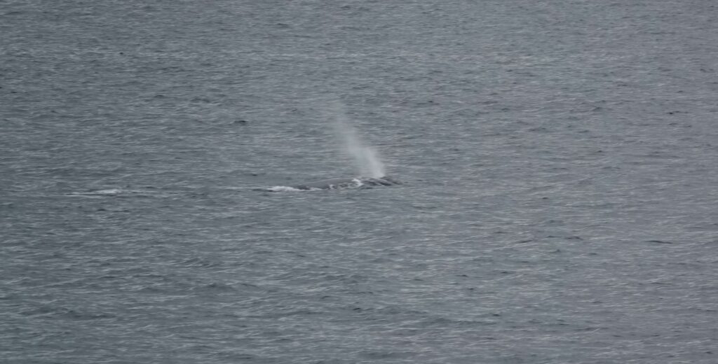
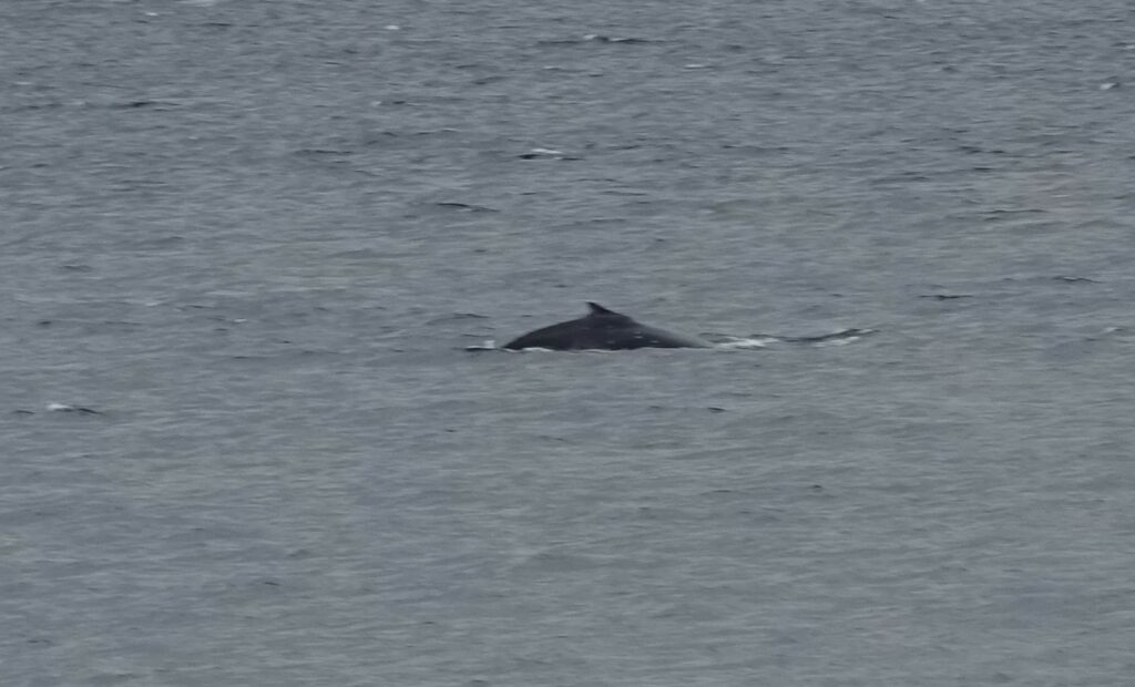
There had been lots of whale sightings. In fact on one day there had been 61 sightings of individual whales recorded by the Wildlife Encounters team, but this time, by chance, I had my camera handy.
The Most Southerly Point
The peak in the centre of the picture below has a cross at the top to identify this as the most southerly section of the Americas landmass, which stretches down from Northern Canada. There are islands further south, but this is the end of continuous land (ignoring the Panama Canal of course). You can just about see the cross in the picture.
Our journey continued towards Punta Arenas in Chile.
Leave a Reply