
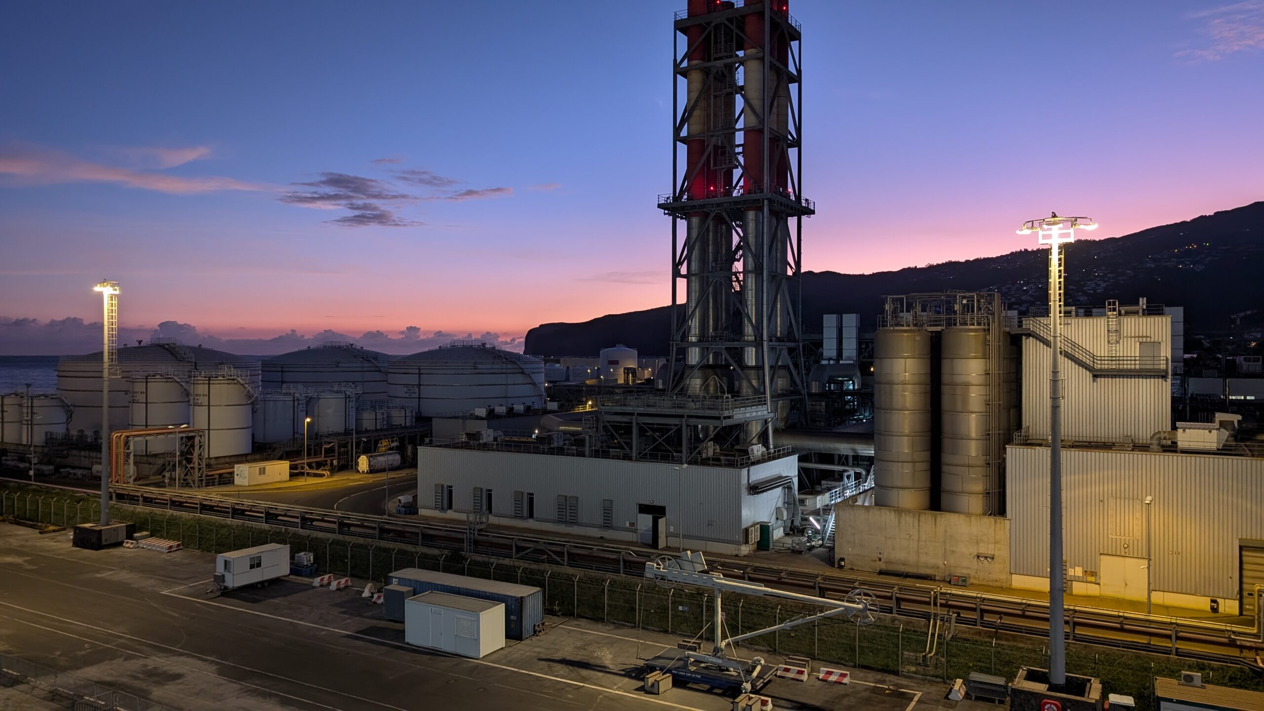
The photo above is of sunrise over a biofuel power plant next to the Reunion Island harbour. The dramatic start somehow seems appropriate for the day that followed.
No lazing on the beach on this day. In complete contrast to Mauritius, Reunion has a rugged landscape with very high mountains and my challenge was a hike on Piton Maido, one of it’s highest.
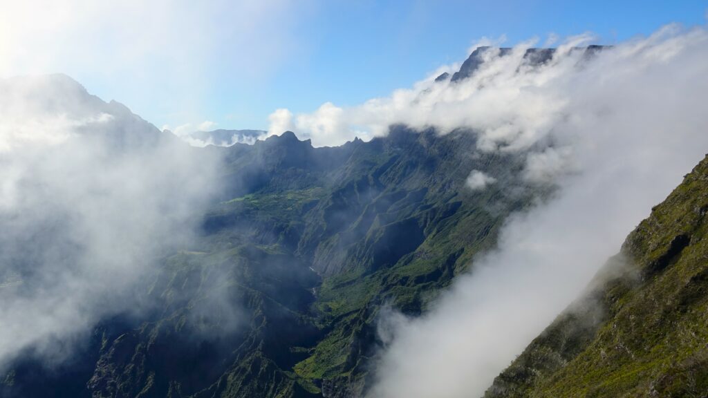
Our start was at a viewpoint about 2,300 metres above sea level. Cloud and heavy rain were forecast, of which they get a lot, their annual rainfall is measured in metres. So the journey up the twisting mountain roads was swift, to try and reach the viewpoint before the approaching storm clouds obscured the views. We just about made it.

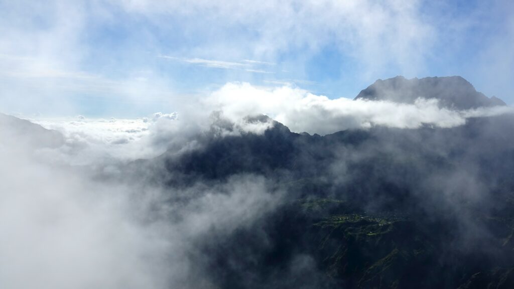
The settlements that can be seen in the above photo are three of eight in the region that do not have roads either to them or between them, there are just footpaths.
When the villagers need supplies it takes them a day to walk to the main town. Having purchased their goods, nowadays, they can place them on a net located in a secure area and periodically a helicopter lifts the net containing all their items and delivers them to the relevant villages.
For a while we watched the approaching clouds moving across the landscape and up the valley.
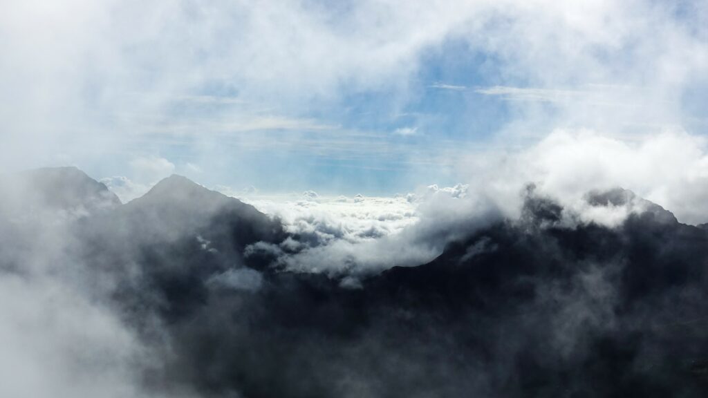
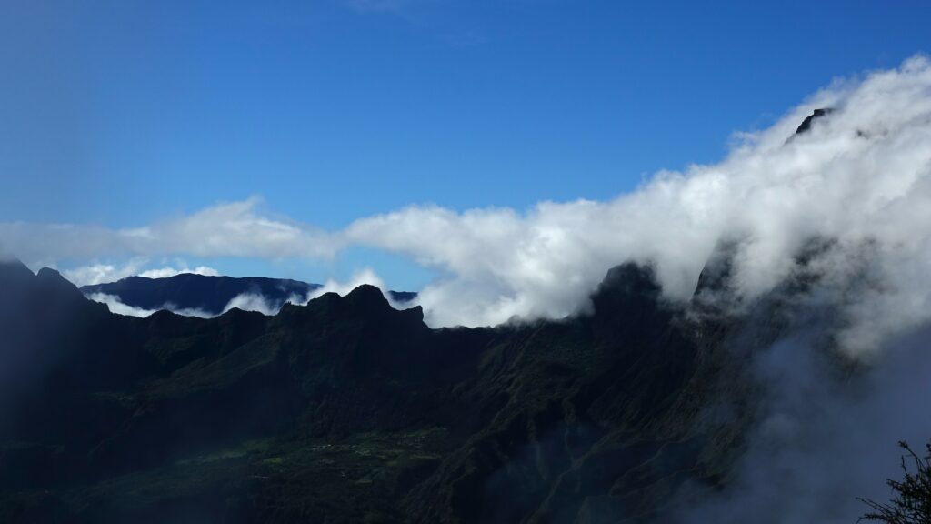
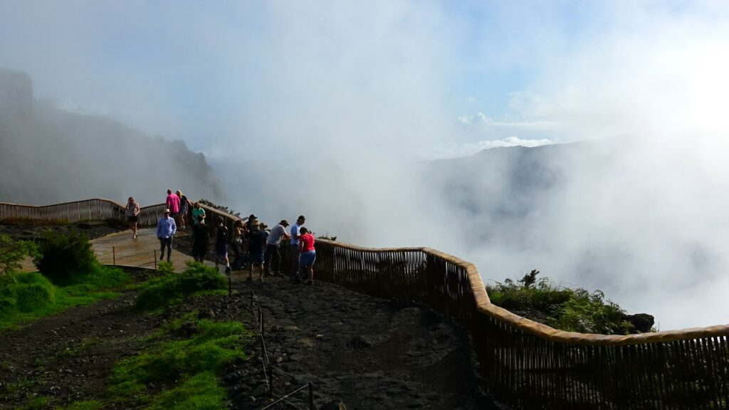
Eventually the scene before us was engulfed in clouds with only the tops of the peaks visible. It was time to continue our hike.
Just 25 days before our arrival, Reunion Island endured a severe cyclone that left extensive damage in its wake. Initially, there were concerns that the devastation to critical infrastructure might force a cancellation of our trip.
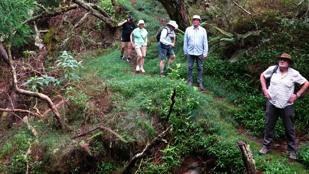
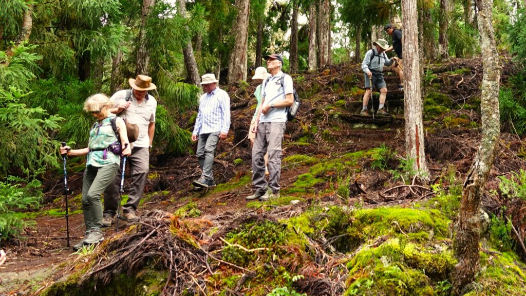
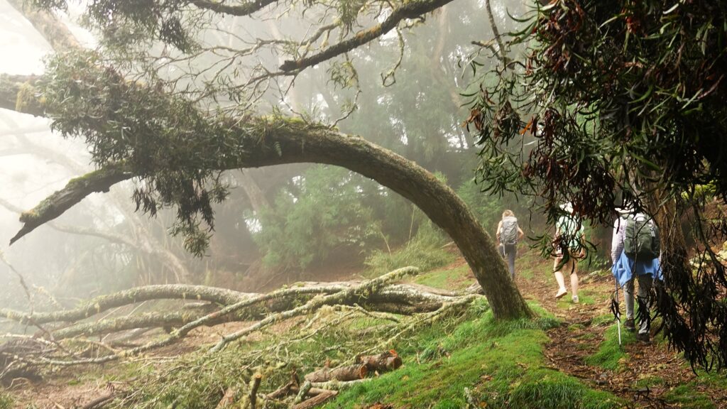
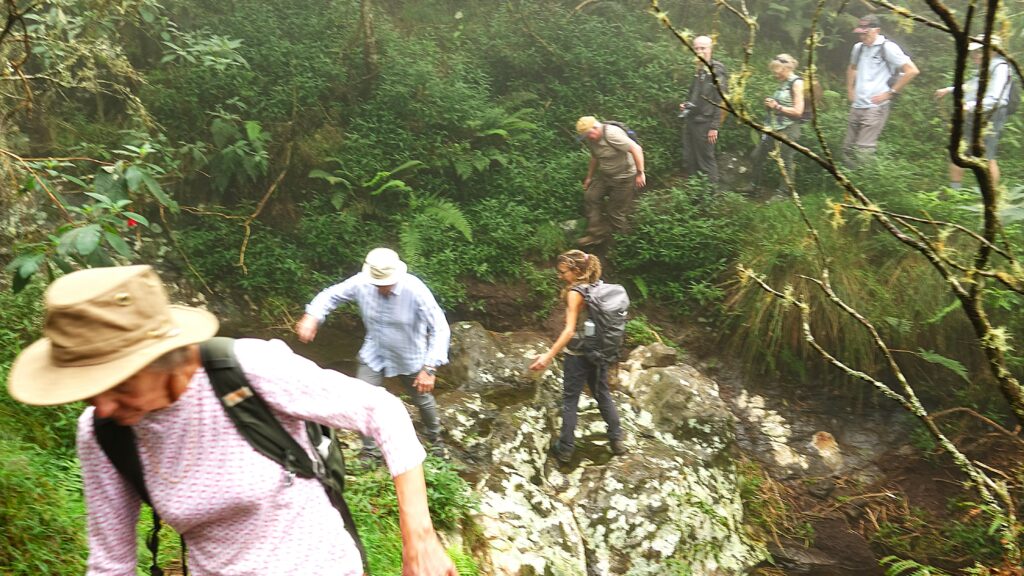
Fortunately, the resilient islanders worked hard to clear roads and restore buildings, ensuring they could welcome visitors once again. However, the planned high mountain trails remained inaccessible due to rockslides and other hazards caused by the cyclone. Instead, our guide opted for a lower-altitude route, at approximately 1,800 meters, through an amazing woodland.
It turned out to be an inspired choice – truly unforgettable.
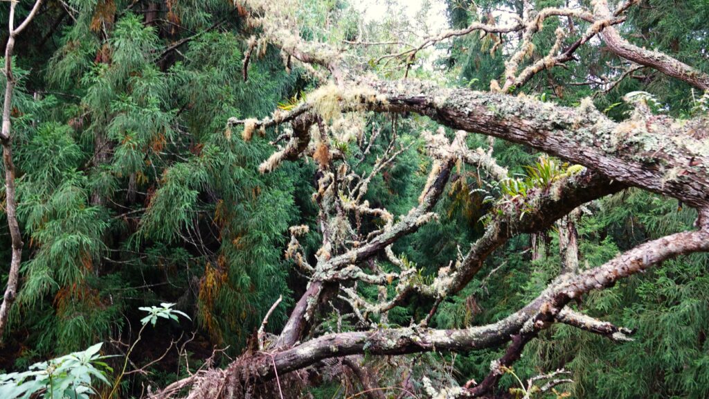
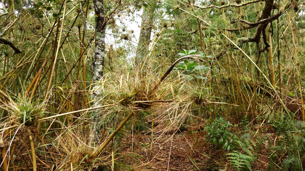
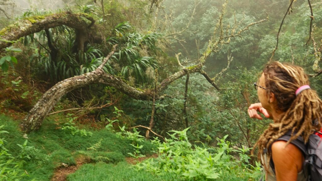
As soon as we stepped into the woodland we were surrounded by a dense but strange undergrowth. In the dimness, the ferns and decaying fallen trees covered in moss, lichens and other parasitic plants, with occasional chinks of sunlight created an almost mystical scene.
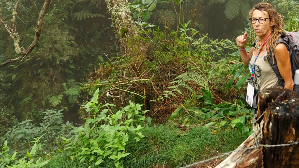
The warm steamy atmosphere and the powerful but pleasant aromas tingled our senses. “What’s that smell?” I asked our knowledgeable guide as I noticed a sweet new fragrance. “Fresh air” came the cheeky reply.
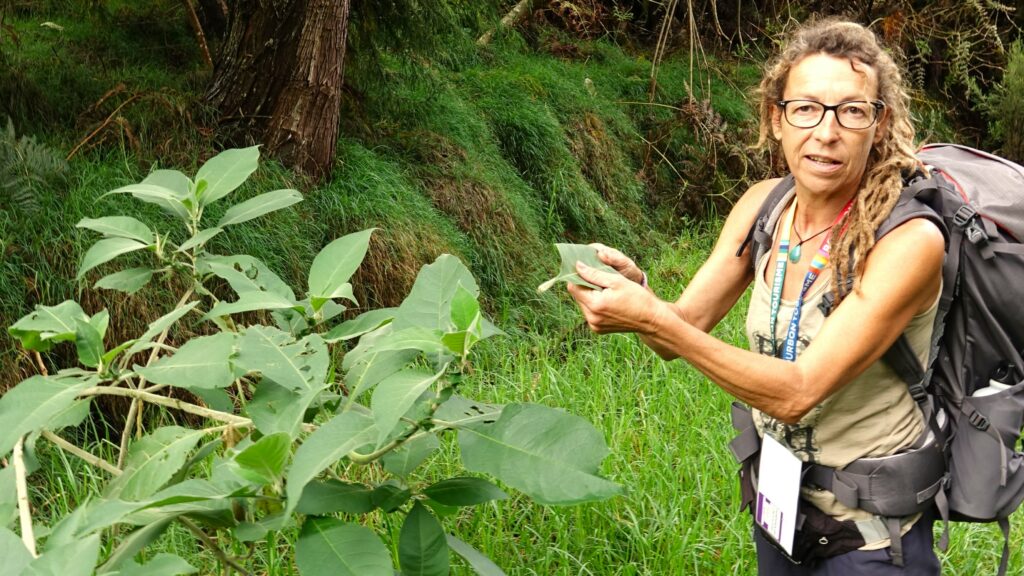
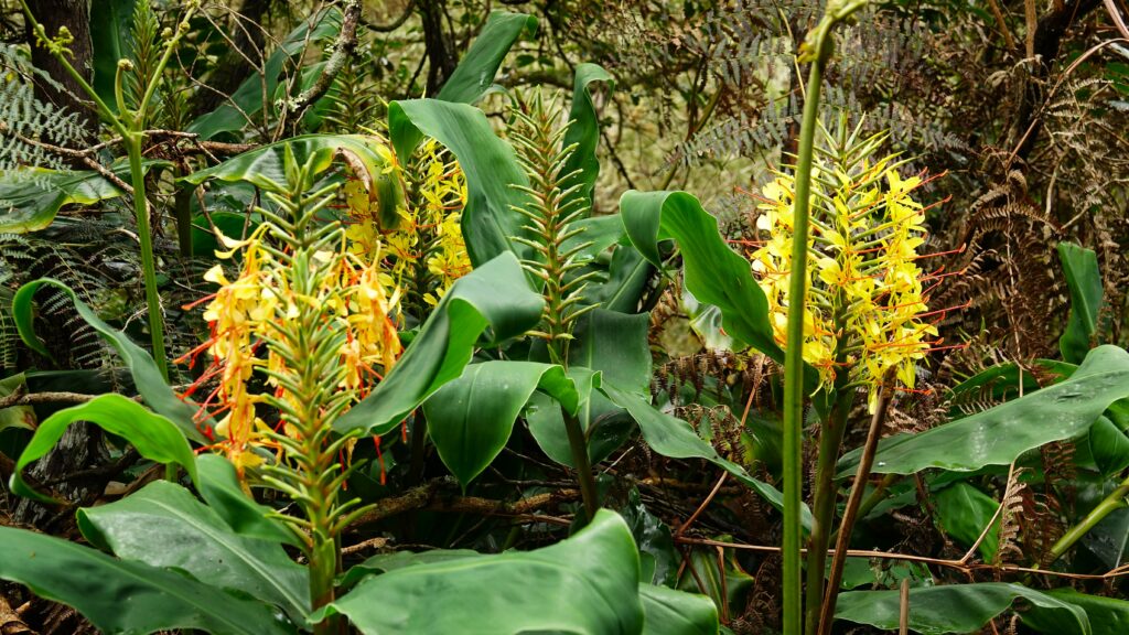
Many of the forest plants we encountered have medicinal properties. However, our guide pointed out that the leaves shown in the photo below have an additional, surprising use – they excel at washing dishes! These natural leaves apparently cut through grease more effectively than traditional washing-up liquid.
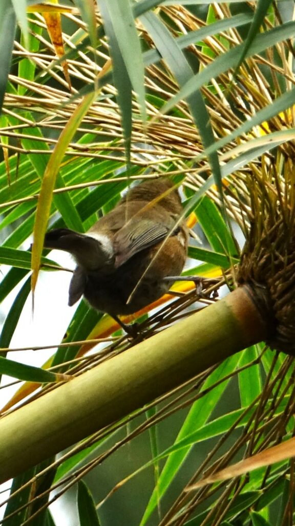
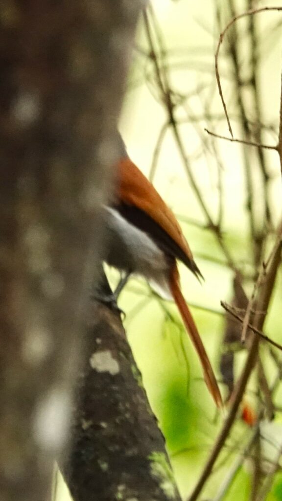
Of course there were lots of birds in the trees and bushes around us but would the little blighters hold their pose long enough for me to focus and shoot? Unfortunately not. So I suspect identification of these will be impossible, even for Andy.
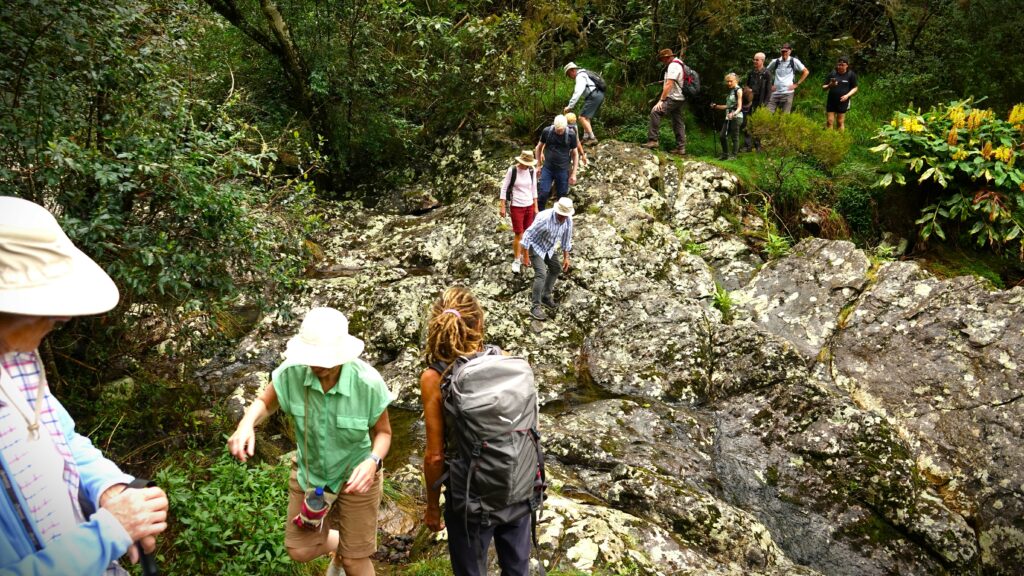
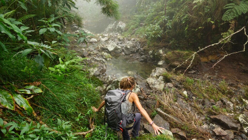
We crossed several ravines which probably would have been impassable later that day when a storm reached the area, undoubtably causing torrents in the mountain gorges.
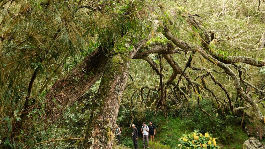
The photo below features a tamarind tree trunk. Its hard wood is sought after for making furniture or use as a strong building timber. Its bark is used to treat asthma.
It was a great adventure. Exhilarating, interesting and good fun with lots of laughs. Also the timing was good as the forecast heavy rain didn’t start until we were safely back on the bus and making our way back down the mountain roads.
I’m writing this on Friday 28th. We are currently on route to Port Elizabeth and tomorrow, when we arrive, I start a five day excursion up into darkest Africa, visiting Soweto, Victoria Falls, and the Chobe Wild Game Reserve. It should be fun.
Leave a Reply